
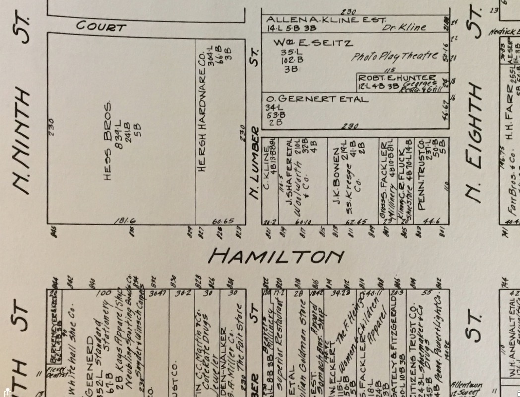
The map, partially shown above, was produced by the Nathan Nirenstein Company of Springfield, Massachusetts in 1929. His firm specialized in engineering maps of various center cities on the eastern seacoast. The map is 22X30, and expands out from 7th and Hamilton for 2 1/2 blocks east and west, 2 blocks north and south. The map includes names of both the owner of the building, and the merchant/tenant occupying the space, if different.
While numerous small banks are shown on both Hamilton and the side streets, the coming Depression surely culled that herd. Allentown City Hall and police station are still on Linden Street, while the post office is at 6th and Turner. Two large hardware stores, Young and Hersh, are on Hamilton Street.
The buildings are owned by hundreds of different people. What will future generations think when they see a 2029 map, and all the buildings are owned by just a few people?
reprinted from 2016
It could have a lot of vacant lots and abandoned buildings.
ReplyDeleteThere are, what, maybe three people really running Allentown. The ASD officials, the electeds, the heads of non-profits and their direct reports, they all come and go.
ReplyDelete